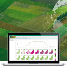
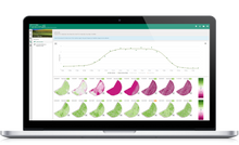
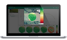
Combine in-field data from METOS® stations with spatial imagery for complete scanning of your crop's development
Spatial data from Satellite-remote sensing allows a full view of crop development, throughout the season, in terms of biomass and nutrition analysis (with LAI and NDVI).
Benefits of Satellite imagery:
- provides relevant information for long-term yield potential
- provides full monitoring of vegetation dynamics
- identify crop-growth stages such as Vegetative phases (planting to flowering), maturity, and harvesting timing
- identify areas below or above the average biomass development
- identify weaker spots that require special treatment (fertilization, crop protection, nutrition analysis ...)
and more.
In order for Satellite Subscription to work, you need a physical METOS® station or a simple Virtual Weather Station. The Satellite license is activated within the free application FieldClimate and is currently available for computers only.


